


Key Takeaways
- Lakeside hikes offer some of the most stunning views in the world.
- These ten hikes are renowned for their scenic beauty and photo opportunities.
- The trails are well-traveled and come highly recommended by seasoned hikers.
Imagine standing at the edge of a tranquil lake, the view so stunning it snatches your breath away—got that image in your mind?
These aren't just any trails; they lead to some of the most spectacular lakeside vistas imaginable!
Ready for views that'll have you whipping out your camera every five steps?
Let's discover ten breathtaking lakeside hikes where each turn reveals a picture-perfect snapshot.
You're not just reading another list; you're embarking on a virtual tour with a seasoned trail pal—me!
Rest assured, these hand-picked hikes have been tried, tested, and loved by adventurers who rave about their unmatched panoramas.
So, lace up your hiking boots, and let's hit the trails where the water's edge meets the wondrous wild.
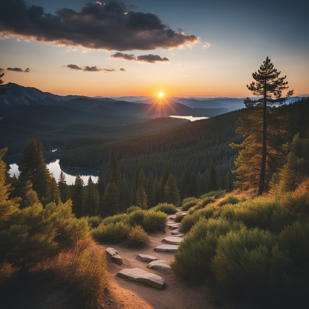
Rubicon Trail, Lake Tahoe, California/Nevada
Have you ever imagined a trail so inspiring that you're left speechless with each step?
That's the Rubicon Trail for you!
Winding along the western shore of Lake Tahoe, this trail treats you to an unbeatable combo of cobalt-blue waters and rugged mountain vistas.
It's not just a walk in the park – expect to switch up the pace on this 16.4-mile trek as you soak up the panoramic beauty that frames both D.L. Bliss State Park and Emerald Bay State Park.
Eager to tie those laces yet?
Here's what to expect on this lakeside adventure:
- Distance: 16.4 miles (round trip)
- Elevation Gain: 2,339 feet
- Difficulty: Moderately challenging – but oh so worth it!
- Average Completion Time: Roughly 7 to 8 hours; take your time or chase the sunset, it's your call!
Keep those cameras ready, because the Rubicon Trail is a literal feast for the senses, with a side dish of local history too.
Between the towering pines and the occasional hidden beach, there's a spot for every nature lover.
Now, don't be surprised if you bump into fellow hikers and runners – the Rubicon Trail is a popular spot and it's not difficult to see why.
Can I just say, preparing for this hike is as crucial as your decision to embark on it.
So, slap on that sunscreen, fill those water bottles, and check weather conditions.
Ain't no fun getting caught in a surprise weather twist, right?
Remember, there's a parking fee that gives your car a day's stay – a small price to pay for access to Mother Nature's best work.
Lace-up, head out, and let the Rubicon Trail leave you enthralled amidst the splendors of Lake Tahoe.
Happy trails to you!
Cleetwood Cove Trail, Crater Lake, Oregon

Ever dreamt of hiking down to the edge of a deep blue lake, so vivid it looks photoshopped?
If you find yourself in Oregon, the Cleetwood Cove Trail is your ticket to this magical sight!
Snaking through Crater Lake National Park, this hike is not only your exclusive path to the waters of Crater Lake, but a feast for the eyes with every step.
Trail Details:
- Distance: 2.2-mile round trip
- Difficulty: Moderately challenging
- Elevation Gain: 700 feet on descent, 620 feet on climb back up
Prepared for a workout?
Good!
While the descent is steep and will test your knees, remember what awaits is a shoreline so inviting, you might just dip your toes—or more—in.
The path itself is part athletic challenge, part sensory overload.
You're surrounded by the sanctuary of partial shade, walking on a surface of crushed pumice that can be a bit slippery when dry—so, good footwear is a must!
And since this hike is a hit amongst visitors, chances are you'll be sharing the trail with other nature enthusiasts.
Feel that camaraderie!
Ideal Time to Visit:
- Best Months: June through October
Before setting out, check your pack—is your water bottle filled?
Camera ready for those jaw-dropping views?
And don't forget snacks for a little recharge by the lake.
Just keep in mind, what goes down must come up.
That climb back will demand some huff and puff, but it's a great way to earn that post-hike treat!
Whether you're in it for the hike or the dip, Cleetwood Cove Trail offers a lakeside experience that is both refreshing and awe-inspiring.
So, grab your hiking boots and see for yourself why it's a centerpiece of Crater Lake adventures.
Grinnell Glacier Trail, Glacier National Park, Montana
Have you ever dreamt of walking through one of nature's most impressive landscapes?
Let me take you on a journey to the Grinnell Glacier Trail in Glacier National Park, Montana.
Imagine trekking along a path where every turn reveals a vista that's more stunning than the last.
That's Grinnell Glacier Trail for you!
Distance: 11.2 miles round trip
Elevation Gain: 1,600 feet
Trail Type: Out and back
Difficulty: Moderate to Strenuous
Here's what you can expect:
- Expect a colorful journey. You'll start your hike surrounded by a palette of vibrant wildflowers, if you time your visit just right in the summer months.
- Wildlife a-plenty. Keep your eyes peeled for the park's residents; if luck is on your side, you might spot bighorn sheep or even a grizzly from a safe distance.
- Boat rides, anyone? Fancy starting your hike with a scenic boat ride across Swiftcurrent Lake and Lake Josephine? It's optional, but highly recommended for the full experience and to shave off a bit of walking.
You'll want to pack a camera because every step along this trail promises Kodak moments.
With aqua-lakes that could rival the Caribbean's hues on one side and the sheer rock faces of Montana's rugged wilderness on the other, you're in for a visual feast.
Remember, it's not a race, so take your time to soak in the views and catch your breath—literally, as you'll be climbing quite a bit to reach the glacier.
Before you go: Check the trail conditions before you head out, as paths can be subject to closures.
Also, bring layers—mountain weather can be changeable, and you'll be climbing up into cooler altitudes.
And hey, while the trail may be a challenge, think of the bragging rights!
Plus, the view of the eponymous glacier is something that you'll remember forever.
Are you ready to lace up those boots and hit the trail?
Maple Pass Loop, North Cascades National Park, Washington

Ever fantasized about a trail that combines crystal clear lakes with spellbinding mountain vistas?
Let me introduce you to the Maple Pass Loop.
It's like the VIP room of North Cascades National Park—just for hikers.
Picture this: a 7.2-mile stroll where every corner turned is a new postcard-worthy view.
Lake Ann?
It's there, shimmering and inviting.
Towering peaks?
They've got them in spades, dusted with snow like powdered sugar atop a mountainous confection.
You'll tread among wildflowers that pop with color, their perfumes mingling with the crisp alpine air.
Here's a quick cheat sheet:
- Trailhead Elevation: 4,900 feet
- Highest Point: A commendable 6,950 feet at Maple Pass
- Total Elevation Gain: 2,000+ feet, to get your heart pumping
- Average Completion Time: 3 to 5 hours of nature therapy
- Best Time to Visit: Between May and November, snow permitting
Are you up for a challenge?
Because this trail is considered strenuous—a real leg burner.
But don't let that deter you; the rewards outweigh the effort tenfold.
The trail forms a loop, so there's no backtracking through the same scenery.
Every step is a fresh view, a fresh experience.
And hey, you'll be sharing the trail with others seeking that top-tier alpine magic.
It's popular for a reason, right?
So remember to pack your friendly smile along with plenty of water.
Got an early-season hike in mind?
Prepare for snow—and lots of it—potentially hanging around the trail through July.
It's all part of the adventure, and with adequate prep, you'll do just fine.
So, lace-up those boots, and don't forget your camera.
Your Instagram is about to get a whole lot more epic.
Tenaya Lake to Cloud’s Rest, Yosemite National Park, California

Have you ever dreamed of walking among the clouds?
At Yosemite National Park, the Cloud’s Rest trail beckons you to do just that.
Kicking off at the picturesque Tenaya Lake, this hike is no simple stroll in the park.
But trust me, the effort is worth every drop of sweat.
-
Trail Details
-
Distance: 14.5 miles round trip
-
Elevation Gain: 2,700 feet
-
Trail Type: Out and Back
-
Difficulty: Challenging
So, what can you expect?
Grab your water bottle, because you’ll be ascending a whopping 2,700 feet in elevation.
With each step, you'll feel the burn, but also the exhilaration.
Picture this: unobstructed views of Yosemite’s giants like Half Dome once you reach the summit.
The journey there takes you through forests and granite slopes, teasing you with glimpses of what’s to come.
What should you pack?
Aside from water, take your camera, snacks, and layers—it can get breezy up there.
Remember, it's a full-day hike, an average of 9 hours to complete, so start early.
And hey, no permits are required for this hike; it's just you, the trail, and wide-open skies.
Let’s talk schedule.
Ideally, hit the trail in the morning to avoid afternoon thunderstorms.
Spring and fall offer cooler temperatures, but summer brings clearer skies—that trade-off is yours to consider.
Planning to exceed your limits and craving tranquility with a view?
Cloud’s Rest via Tenaya Lake is your trail.
Grab those hiking boots and see what it feels like to stand atop Yosemite’s own stairway to heaven.
Superior Hiking Trail (Split Rock to Beaver Bay), Lake Superior, Minnesota

Ever dreamt of a lakeside hike that packs in panoramas, woodlands, and waterfalls?
You're in for a treat!
The Superior Hiking Trail segment from Split Rock to Beaver Bay is nothing short of epic.
Imagine this: you're traversing an 11-mile stretch with Lake Superior always by your side, teasing you with its grandeur.
- Length: 11 miles
- Difficulty: Moderately challenging
- Average time to complete: Around 4 hours
- Elevation: Expect some ups and downs, but nothing you can't handle!
The highlight?
Jaw-dropping overlooks providing snapshots of the deep blue Lake Superior.
On your journey, you’ll encounter a palette of nature with lush green forests beckoning you deeper, and the harmonious sound of waterfalls is music to your hiker’s soul.
Here’s what makes this hike special:
- Waterfalls that’ll have you stopping for more than just a water break
- A variety of terrain to keep your hike interesting – from rocky outcrops to soft soil
- The potential for some alone time with nature during those quieter moments – yes, even on a popular trail!
Quick tips for your hike:
- Bring waterproof boots – parts of the trail can be muddy or icy
- Pack insect repellent – the bugs know how beautiful it is here too!
- Always stay prepared – with high water levels, river crossings may get tricky
Remember, the trail can be a challenge, but, have no doubt, your efforts will be rewarded with views that will take your breath away.
Ready to lace-up those hiking boots?
Tongue Mountain Range, Lake George, New York

Ever feel like conquering mountain peaks and soaking up waterside serenity all in one go?
The Tongue Mountain Range is your kind of adventure!
Perched beside the stunning Lake George in New York, this trail is a hiker's dream with vistas that'll make your Instagram followers green with envy.
Picture this: 13.7 miles of trail winding through a series of peaks, each offering a new angle on the lake below.
Don't worry, the effort comes with rewards.
You'll bag an elevation gain of 3,149 feet, but the pulse-quickening panoramas are worth every step.
The details?
You're looking at a loop trail that typically takes an average of 7 hours and 33 minutes to complete.
You've got to be prepared for this one—it's considered challenging.
Let's break it down:
- Distance: 13.7 miles
- Average Time: 7h 33m
- Elevation Gain: 3,149 feet
- Route Type: Loop
- Activities: Hiking, backpacking, camping
And because you're a savvy explorer, remember to pack plenty of water—the trail can be dry.
Oh, and keep an eye out for timber rattlesnakes; they're as much part of the local wilderness as the striking views.
A tip: start at the southern trailhead, Clay Meadows, and follow the trail markers.
You'll trek over peaks like Brown Mountain, with a handy lean-to, before hitting the highlight at Five Mile Mountain.
And if you're feeling daring, why not cool off with a leap into Lake George?
Just remember, this hike isn't a walk in the park.
Lace up your best boots, pack a spirit for adventure, and who knows, you might just find your new favorite trail.
Ready to hit the Tongue Mountain Range?
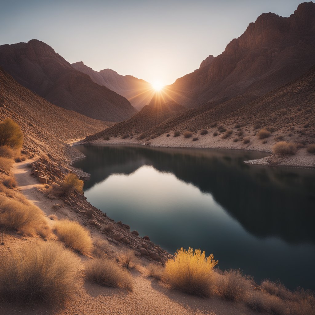
Historic Railroad Trail, Lake Mead, Nevada/Arizona
Have you ever imagined strolling along the same paths where railroad cars once chugged along with supplies to build the monumental Hoover Dam?
The Historic Railroad Trail offers just that, with a side of breathtaking views.
This isn't just any trail—it's a journey through time and nature.
The 7.5-mile round trip is more than a walk; it's a trail with stories etched in its very ground.
Picture this: With every step, you're literally following tracks that helped shape American history.
And don't worry, you don't need to be a history buff to appreciate the raw beauty and engineering feats here!
Why should you hike the Historic Railroad Trail?
Here's a few reasons:
- Scenic Vistas: Lake Mead's sparkling waters with a mountainous backdrop? Check!
- Historical Significance: Walking in the footsteps of history is something else, isn't it?
- Tunnel Time Travel: Ducking through the same five tunnels that were once used to transport huge generators? Yes, please!
The path is well-maintained, making it accessible for most fitness levels.
And don't forget to bring your camera—the majestic views are #InstagramWorthy.
Now, let's talk logistics:
- Starting Point: The trailhead is at 36.01228, -114.79324, near Boulder City, NV.
- Navigation: Just head towards the Lake Mead Visitor Center and you'll find the trailhead about 0.3 miles past it.
Remember to bring water; the Nevada sun doesn't joke around.
But if you're seeking an adventure that combines history with stunning natural beauty, put on those walking shoes.
The Historic Railroad Trail eagerly awaits your footsteps!
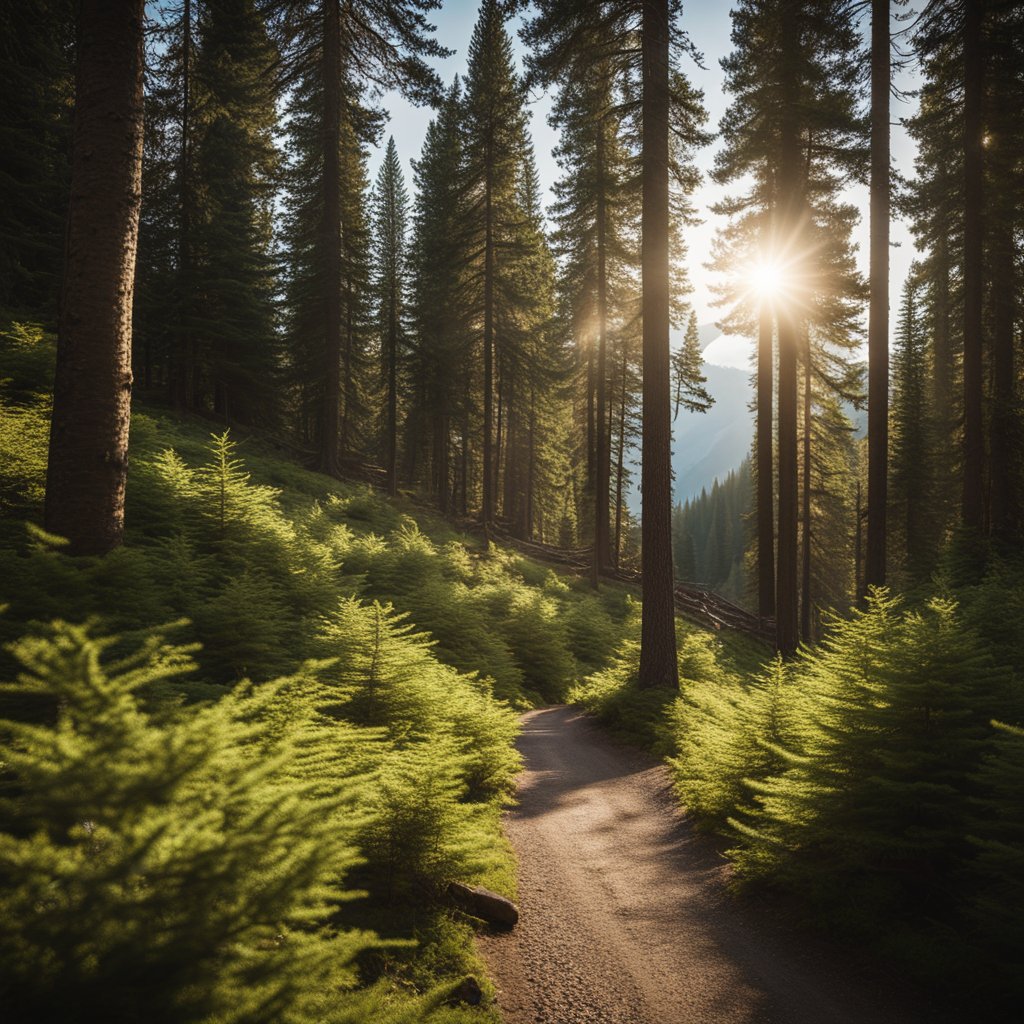
Marymere Falls Trail, Lake Crescent, Washington

Have you ever dreamed of a short hike that packs a punch of nature's splendor?
Let me tell you about the Marymere Falls Trail, cozied up beside the stunning Lake Crescent in Washington.
Imagine yourself trekking just 1.8 miles round trip through a cathedral of old-growth forest that tells tales of the Pacific Northwest's timeless beauty.
Why should you consider this hike?
- Distance: It's only a 1.8-mile round trip, perfect for a quick adventure.
- Difficulty: Rated as easy, making it accessible for hikers of all levels.
- Views: Breathtaking sights of Lake Crescent and the 70-foot Marymere Falls.
- Trailhead: Located at the Storm King Ranger Station—easy to find!
Starting your journey, the path will guide you with the delicate whispers of Lake Crescent's lapping waters.
As you dive deeper, the trail transforms into a verdant tunnel, with towering conifers and maples standing guard.
Who needs a red carpet when you have a plush green one made of sword ferns and moss?
Here's a tip: Keep your camera ready because those Instagram-worthy spots pop up when you least expect them.
And, just when you think the sights couldn't get any better, you'll arrive at the falls—Marymere's crowning glory.
These falls aren't just any trickle; they cascade majestically from 70 feet above.
Need some practical info?
You got it!
- Trail Type: Out-and-back
- Best Time to Visit: April through October
- Average Completion Time: Roughly 50 minutes to an hour
Grab your water bottle and a good pair of shoes, and who knows, maybe I'll bump into you on the trail!
And hey, don't be surprised if it's more crowded than your favorite café; Marymere Falls Trail is a hit with locals and visitors alike.
Enjoy the journey, and soak in every second of that lakeside magic!
Rim Trail (Mather Point to Yavapai Point), Grand Canyon National Park, Arizona

Ever wanted to capture the essence of the Grand Canyon from an unbeatable vantage point?
Lace-up your hiking boots and hit the Rim Trail from Mather Point to Yavapai Point.
It's a 0.7-mile trek that offers a front-row seat to some of the most jaw-dropping views you can imagine.
Starting at the bustling Mather Point, you're in for a scenic adventure that’ll have you grabbing your camera at every turn.
This stretch is paved and quite friendly, so whether you’re a seasoned hiker or just looking to stretch your legs, you've got this!
Here's what to expect:
- Distance: 0.7 miles one way
- Time: 30 minutes to 1 hour
- Accessibility: Paved and mostly level with minor inclines
As you meander along, you'll find the path dotted with informative plaques.
Take a pit stop, read up, and become an instant expert on the canyon’s geology -- talk about a walking Wikipedia!
Reaching Yavapai Point, give yourself a high-five.
The views here?
Simply indescribable.
The majestic Colorado River makes a special guest appearance from this part of the trail, and it’s something you won’t want to miss.
Sure, it’s not a lakeside hike, but with vistas like these, who's complaining?
While the trail is popular year-round, do remember:
- Walk on the right, pass on the left.
- Stay hydrated – the desert isn’t joking about its thirst traps.
- Snap that selfie, but watch your step!
There you have it.
A slice of Grand Canyon magic, no filters needed.
Will you be adding this epic trail to your must-hike list?